A Map of the Province of South Carolina, by James Cook, 1773. Courtesy of Cartography
Associates.

Ichnography of Charleston, South-Carolina [2 August 1788], byEdmund Petrie, 1790. Courtesy
of the Library of Congress.

A Plan of the Attack of Fort Sulivan [sic], near Charles Town in South Carolina [28 June 1776],
by William Faden, 1776. Courtesy of the Library of Congress.

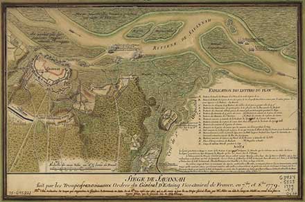
Siège de Savannah [7–8 October 1779], by Pierre Ozanne, 1779. Courtesy of the Library of
Congress.

Plan of the Siege of Charlestown in South Carolina [April–May 1780], mapmaker unknown, 1787.
Courtesy of Barry Lawrence Ruderman Antique Maps, www.raremaps.com.

Plan of the Battle Fought near Camden [16 August 1780], by William Faden, 1787.
Courtesy of the Library of Congress.

The United States of America ... Agreeable to the Peace of 1783, by John Wallis, 1783.
Courtesy of the Library of Congress.